 Image 1 of 2
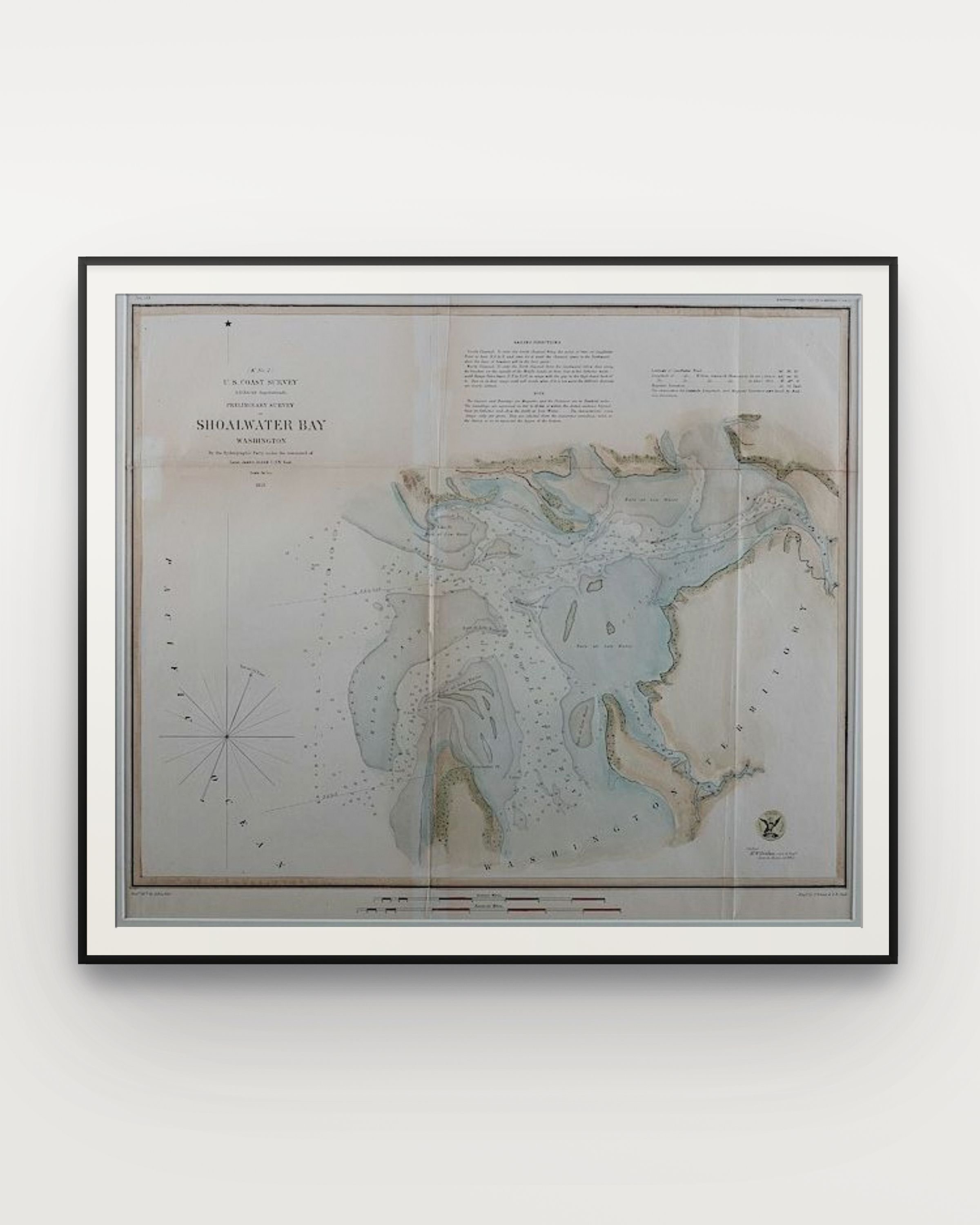 Image 2 of 2
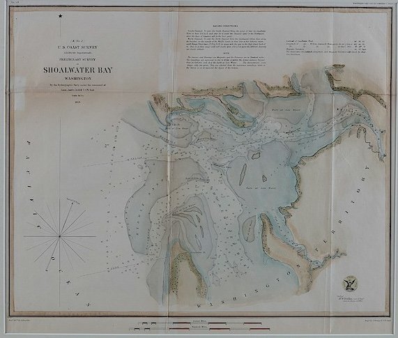
Shoalwater Bay, 1853, colored chart, 14” x 16” in.
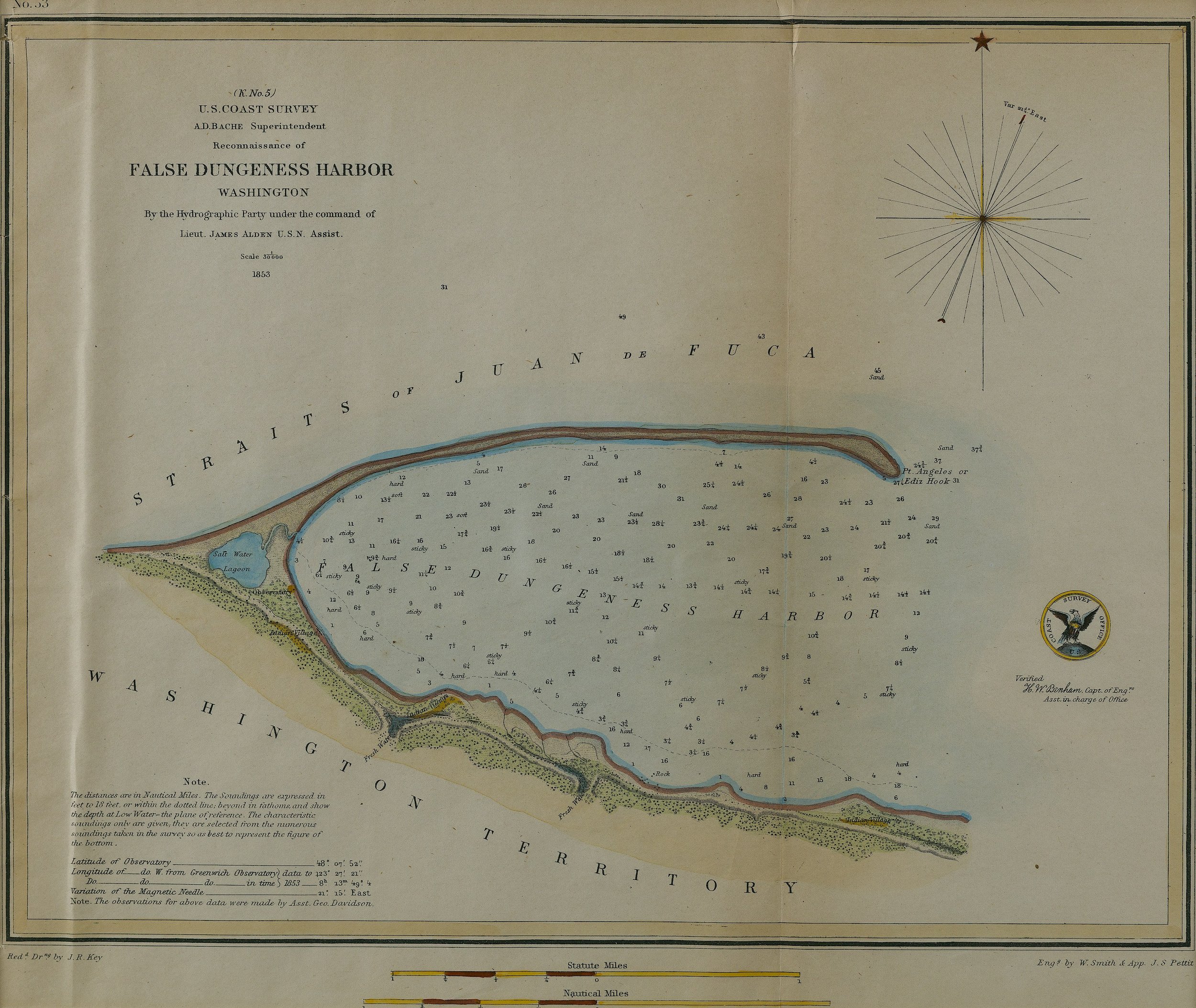
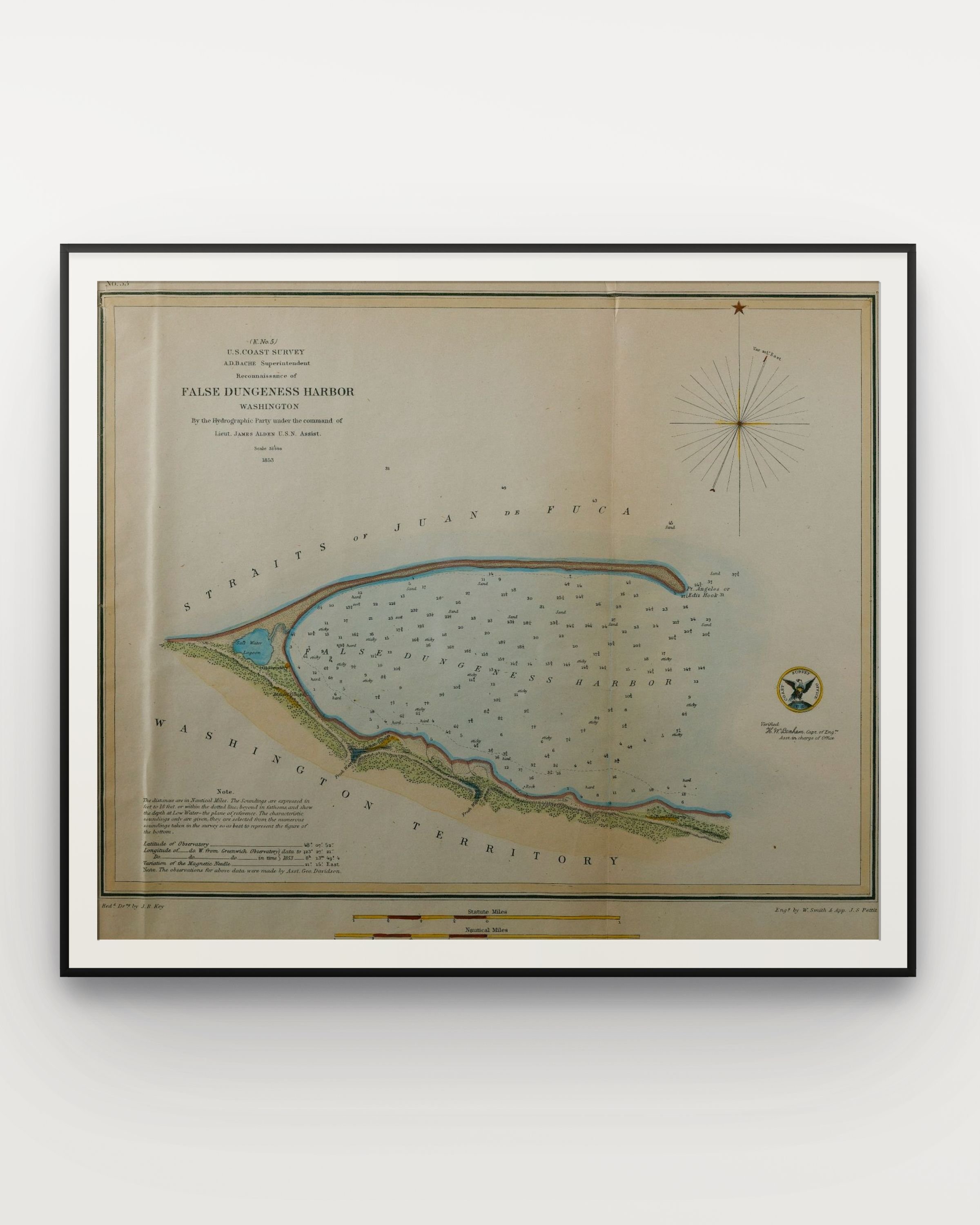
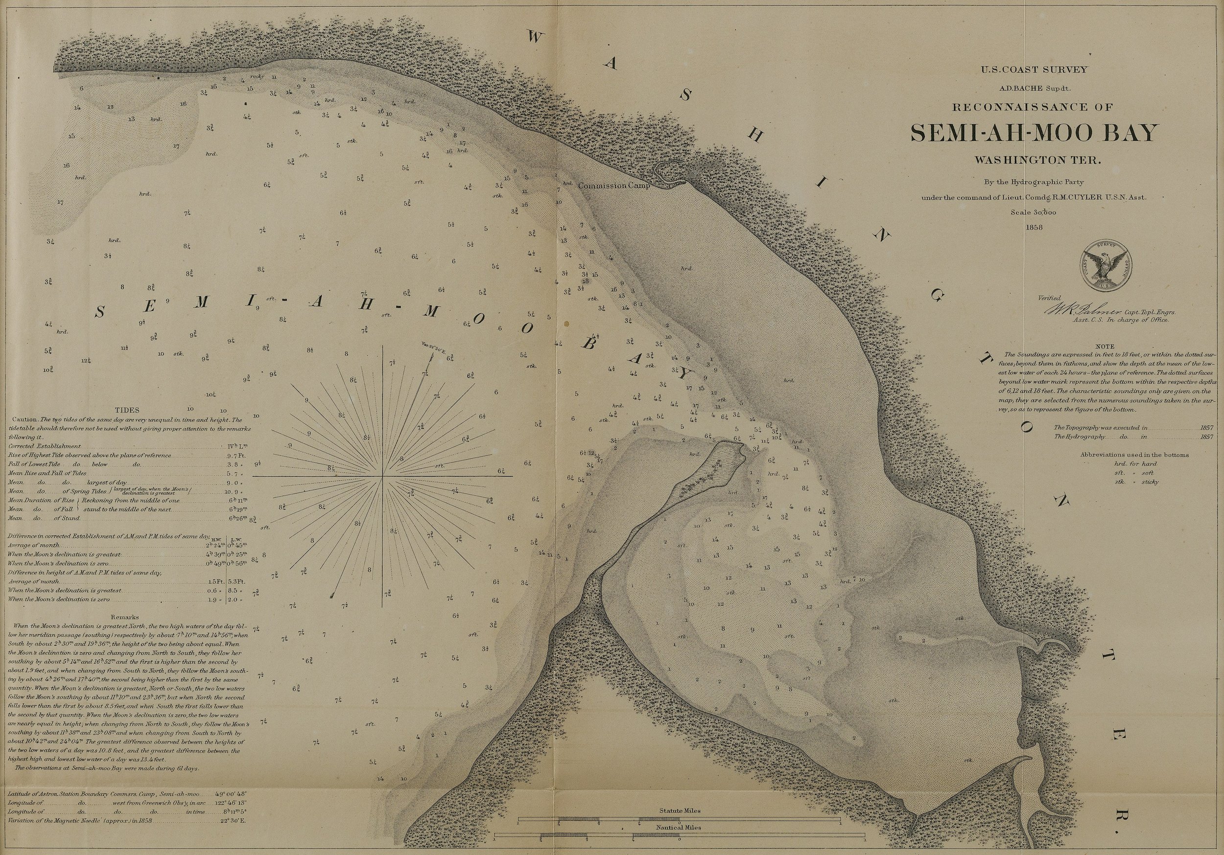
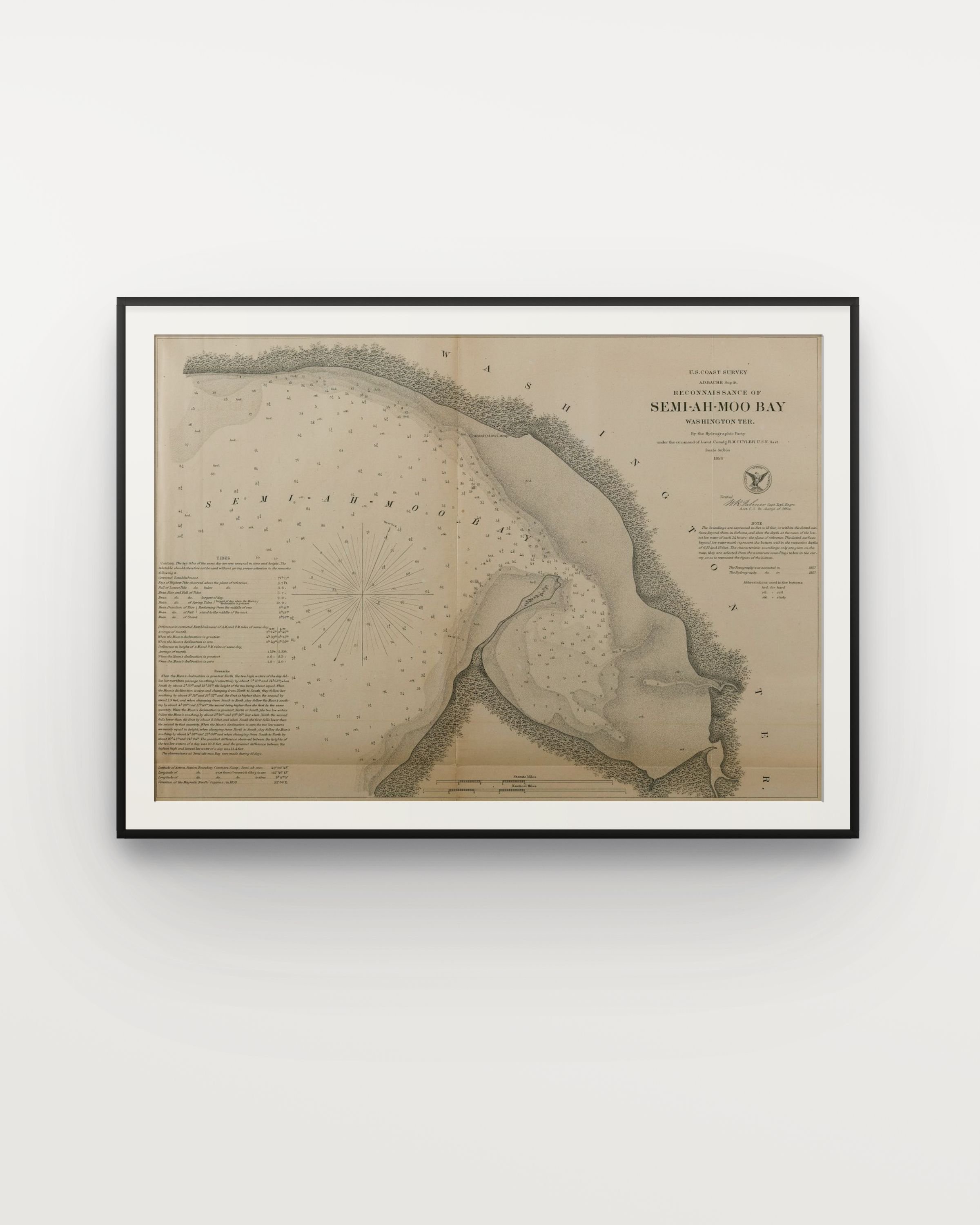
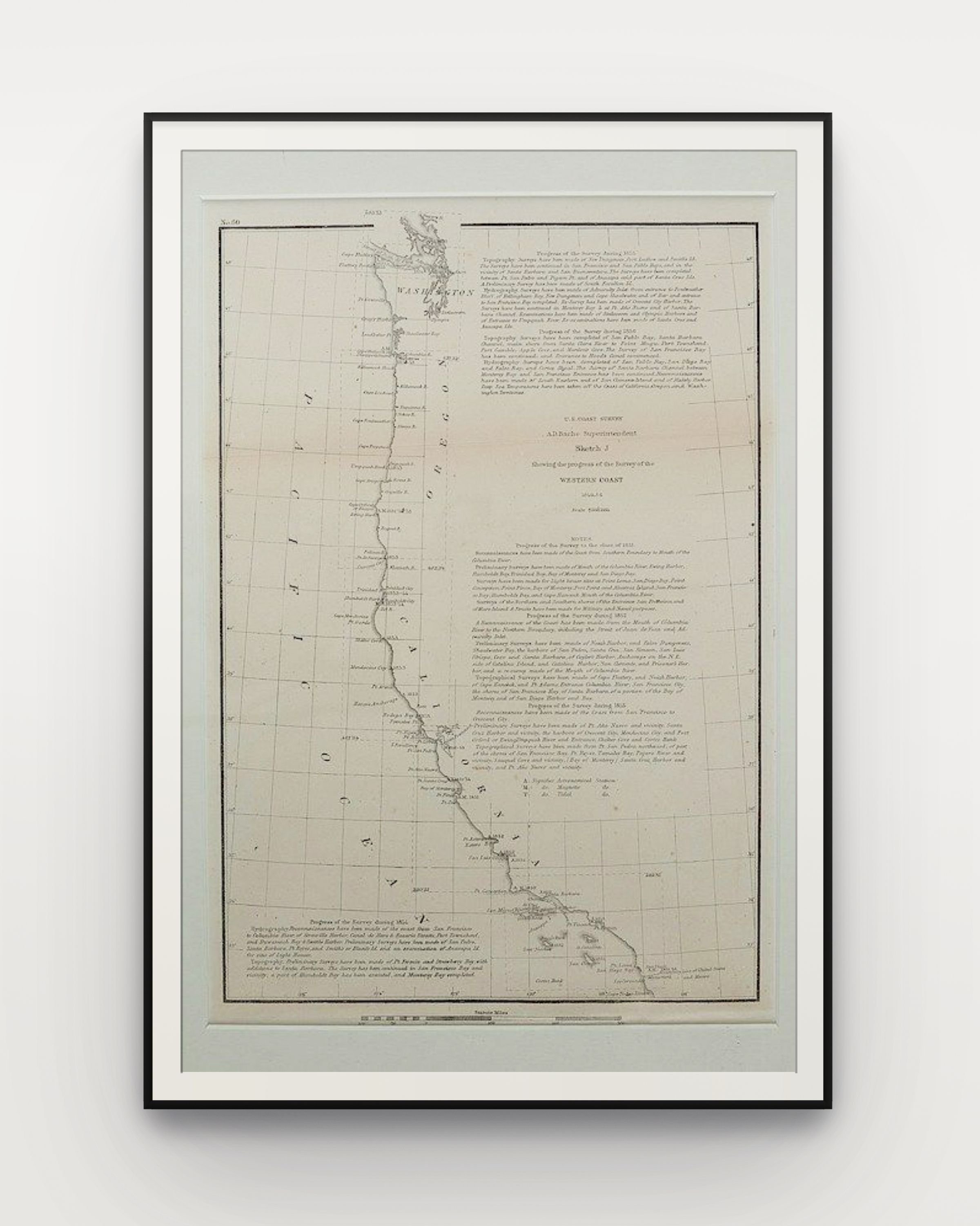
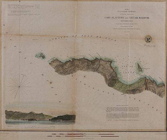
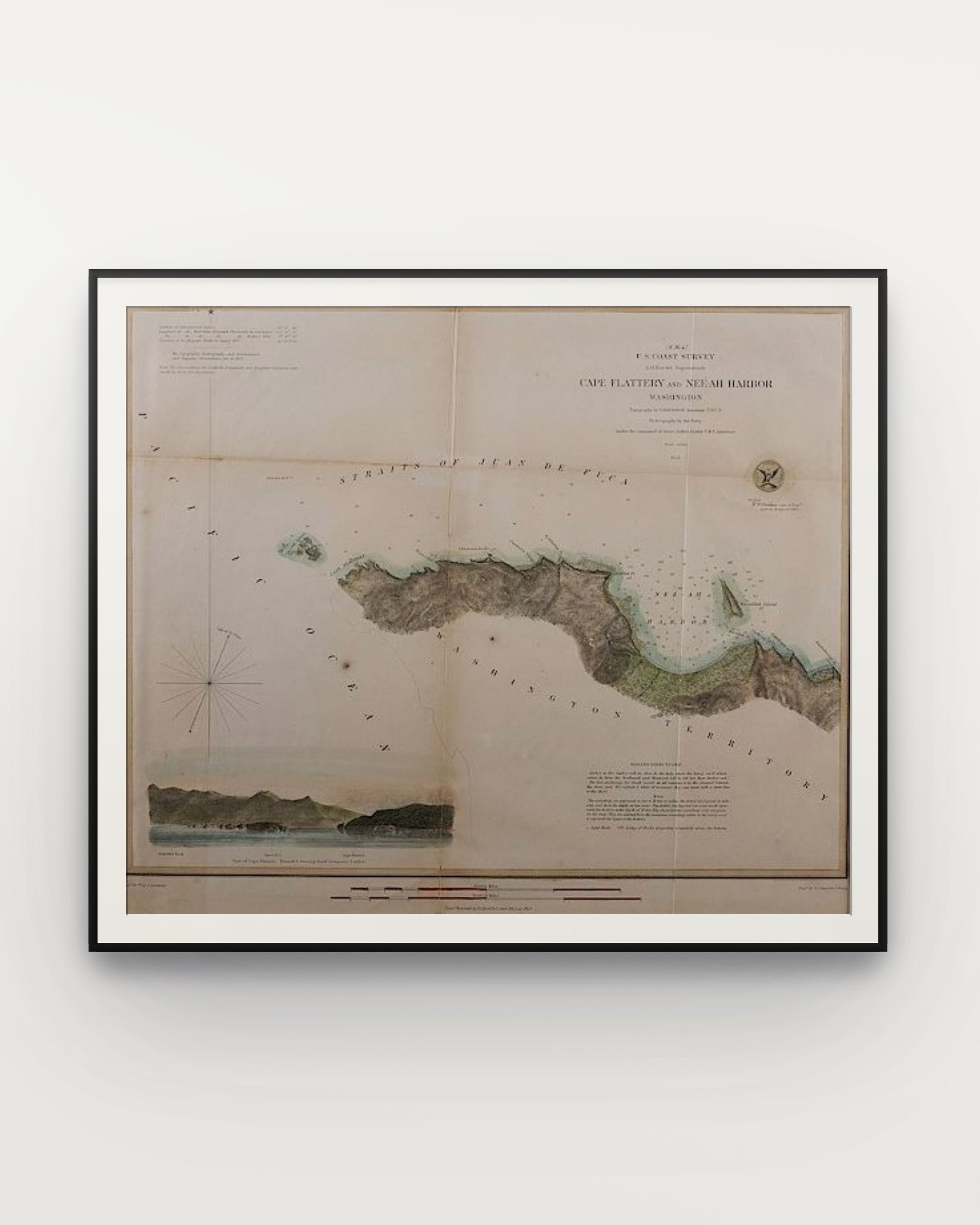
US COAST SURVEY: A group of 34 engraved maps and charts of the Northwest/Washington Territory, most printed by Government Printing Offices for survey purposes.
We offer handling and shipping services. Please inquire for options at info@cordatagallery.com
Shoalwater Bay, 1853, colored chart, 14” x 16” in.
US COAST SURVEY: A group of 34 engraved maps and charts of the Northwest/Washington Territory, most printed by Government Printing Offices for survey purposes.
We offer handling and shipping services. Please inquire for options at info@cordatagallery.com