 Image 1 of 2
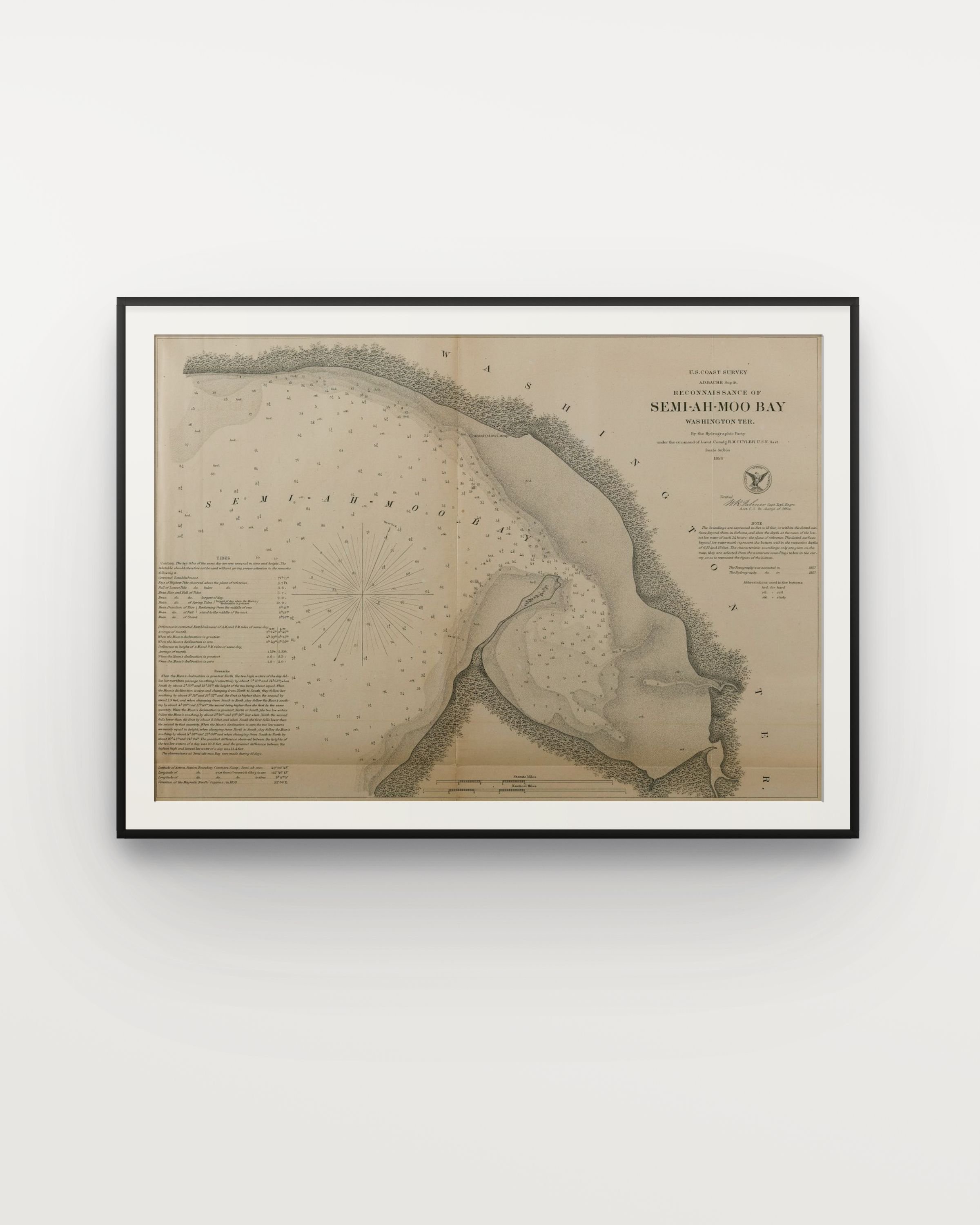 Image 2 of 2
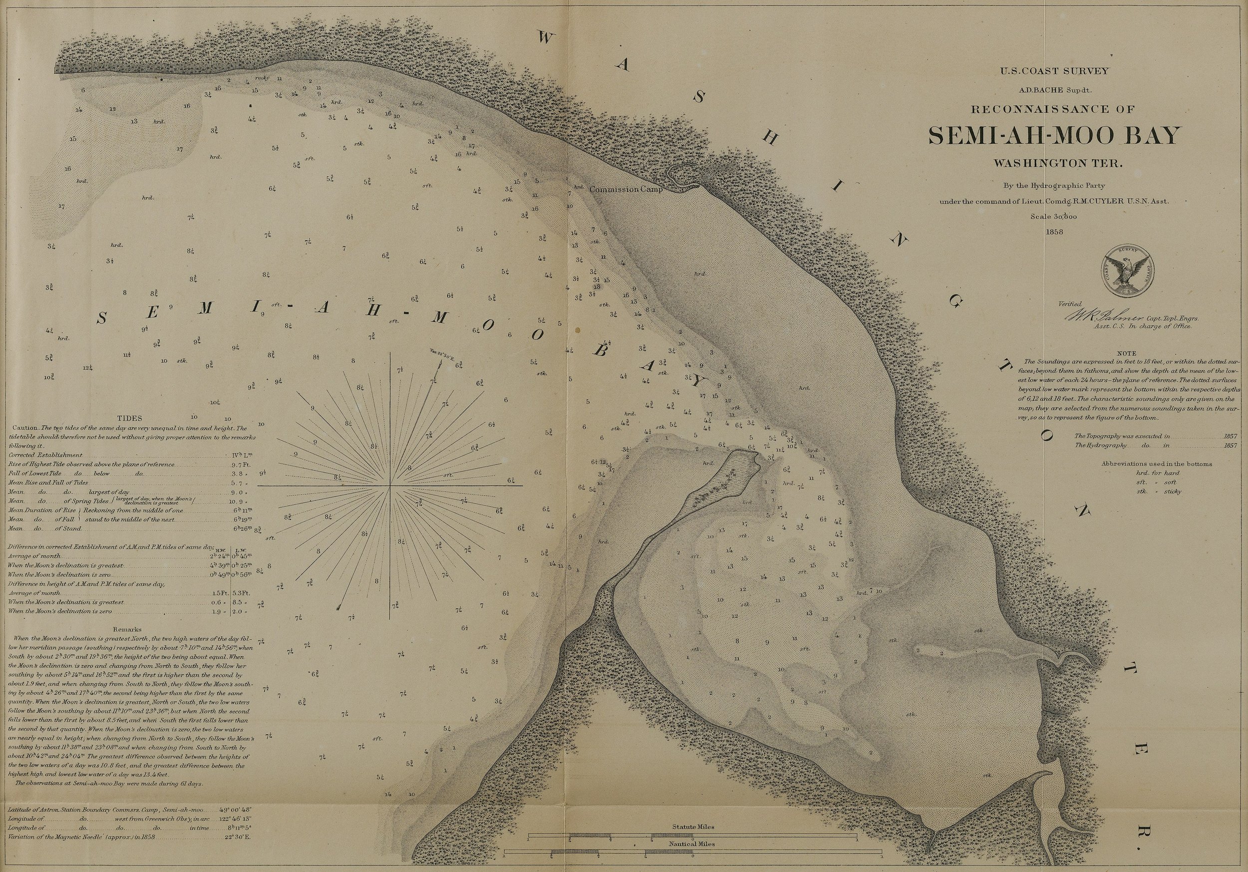
Semi-Ah-Moo-Bay, 1858, Hand colored lithograph, 11.5” x 16” in.
A historically significant antique chart and map produced by the U.S. Coast Survey. Officially titled "Reconnaissance of Semi-ah-moo Bay, Washington Territory," this lithographic print records the early survey of the Pacific Northwest maritime boundary between the United States and British Canada.
This exact map was published at the height of the 1858 Fraser River Gold Rush. During this time, Semiahmoo Bay and the neighboring town of Whatcom (now Bellingham) were flooded with thousands of fortune seekers heading north toward British Columbia.
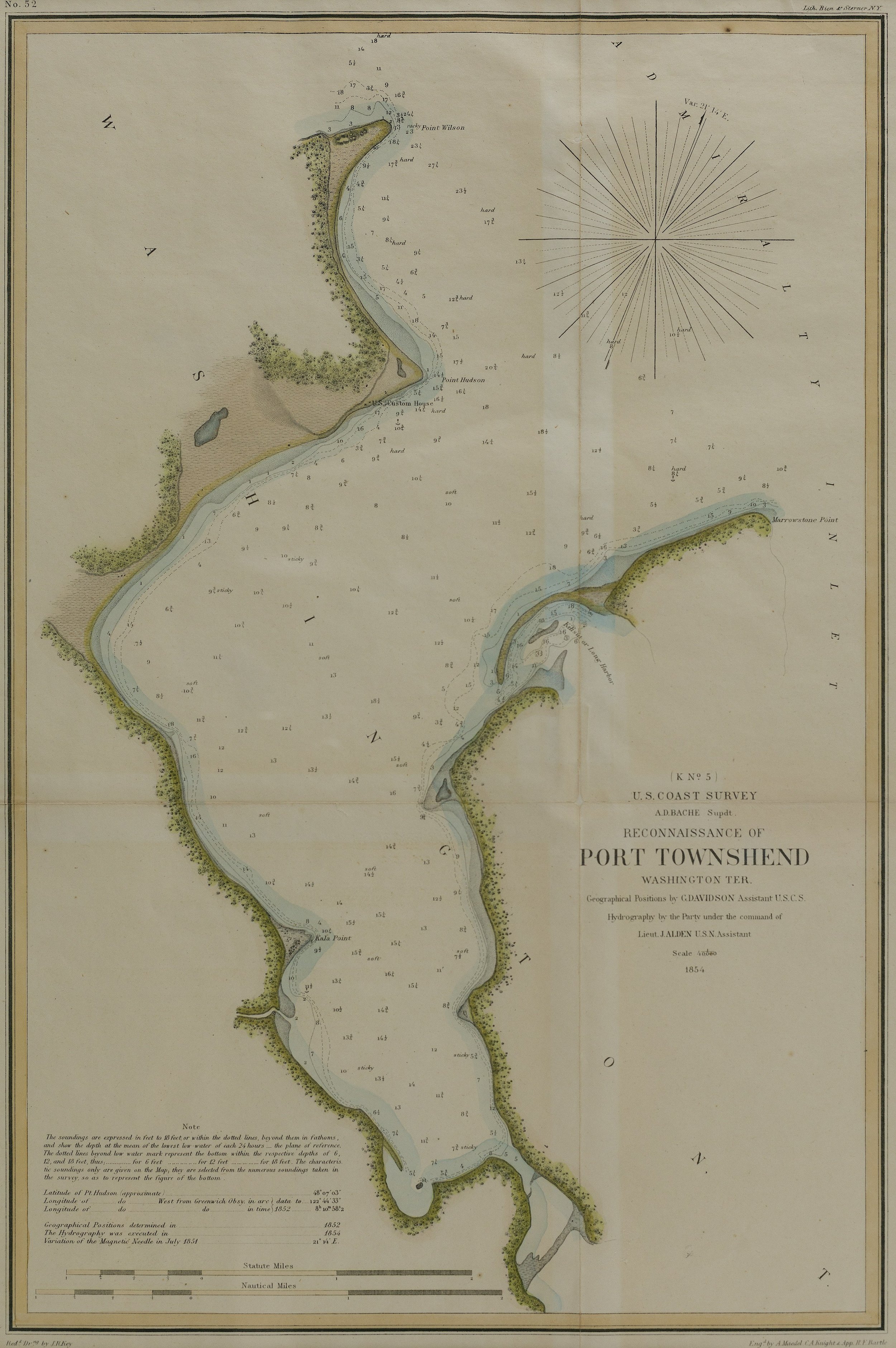
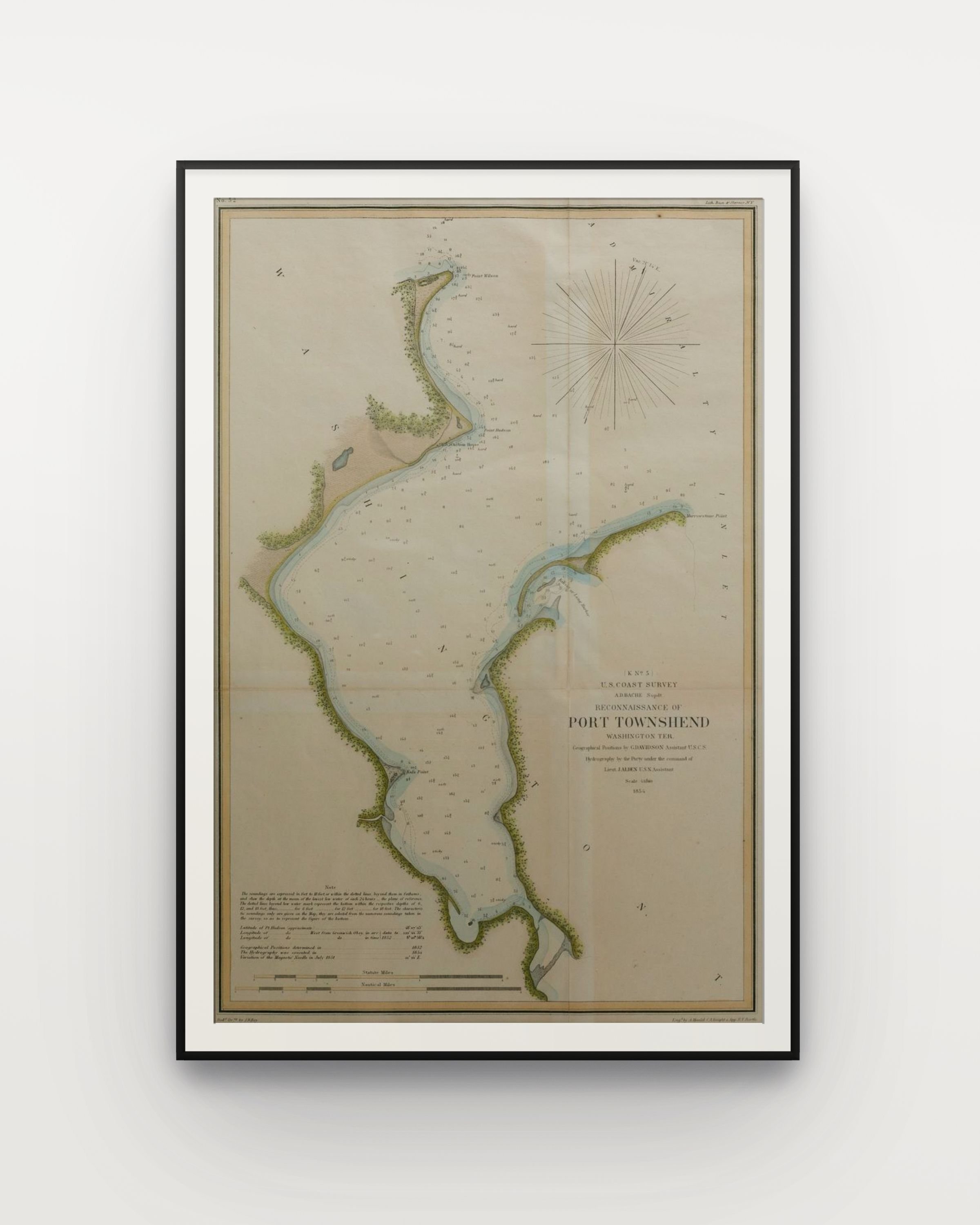
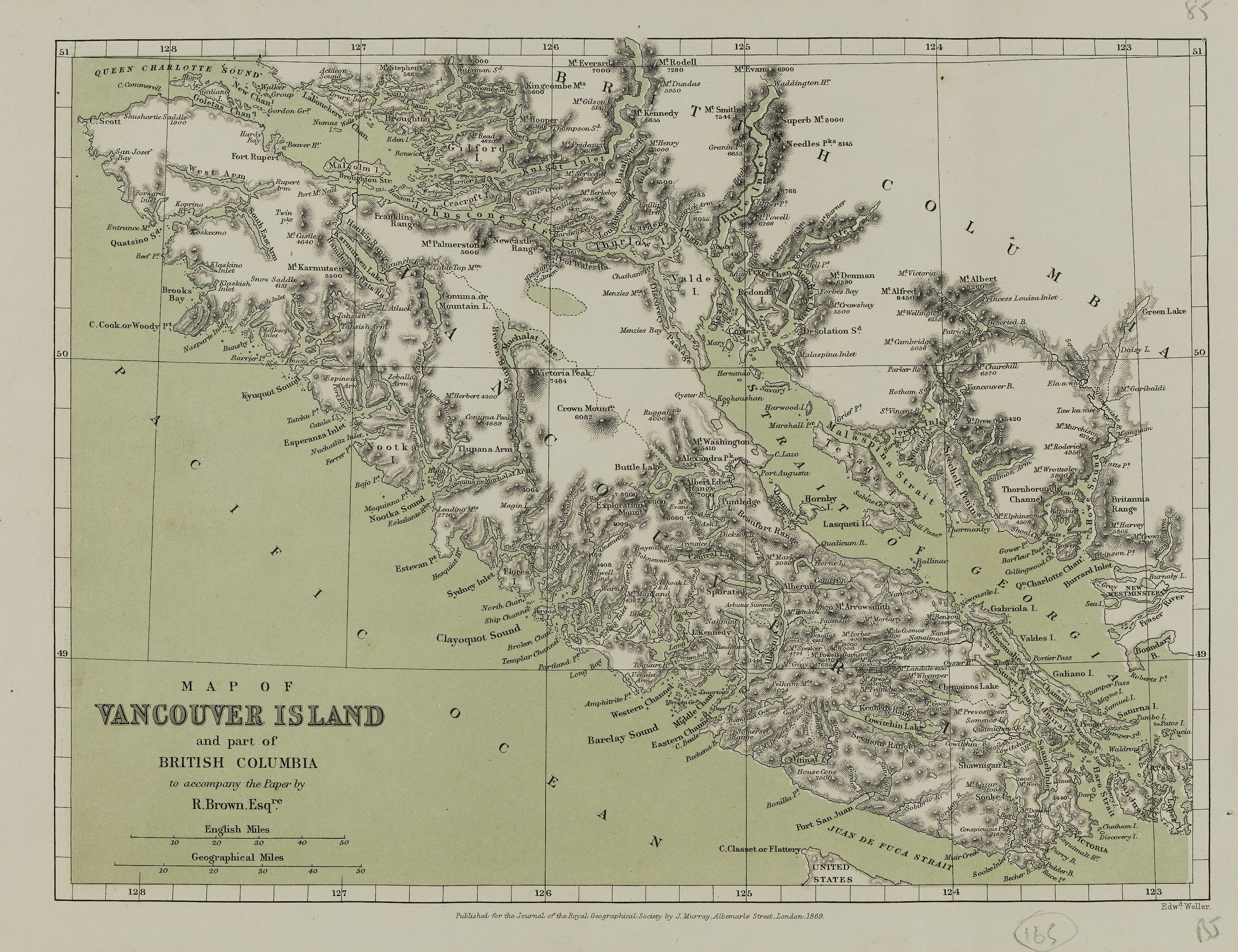
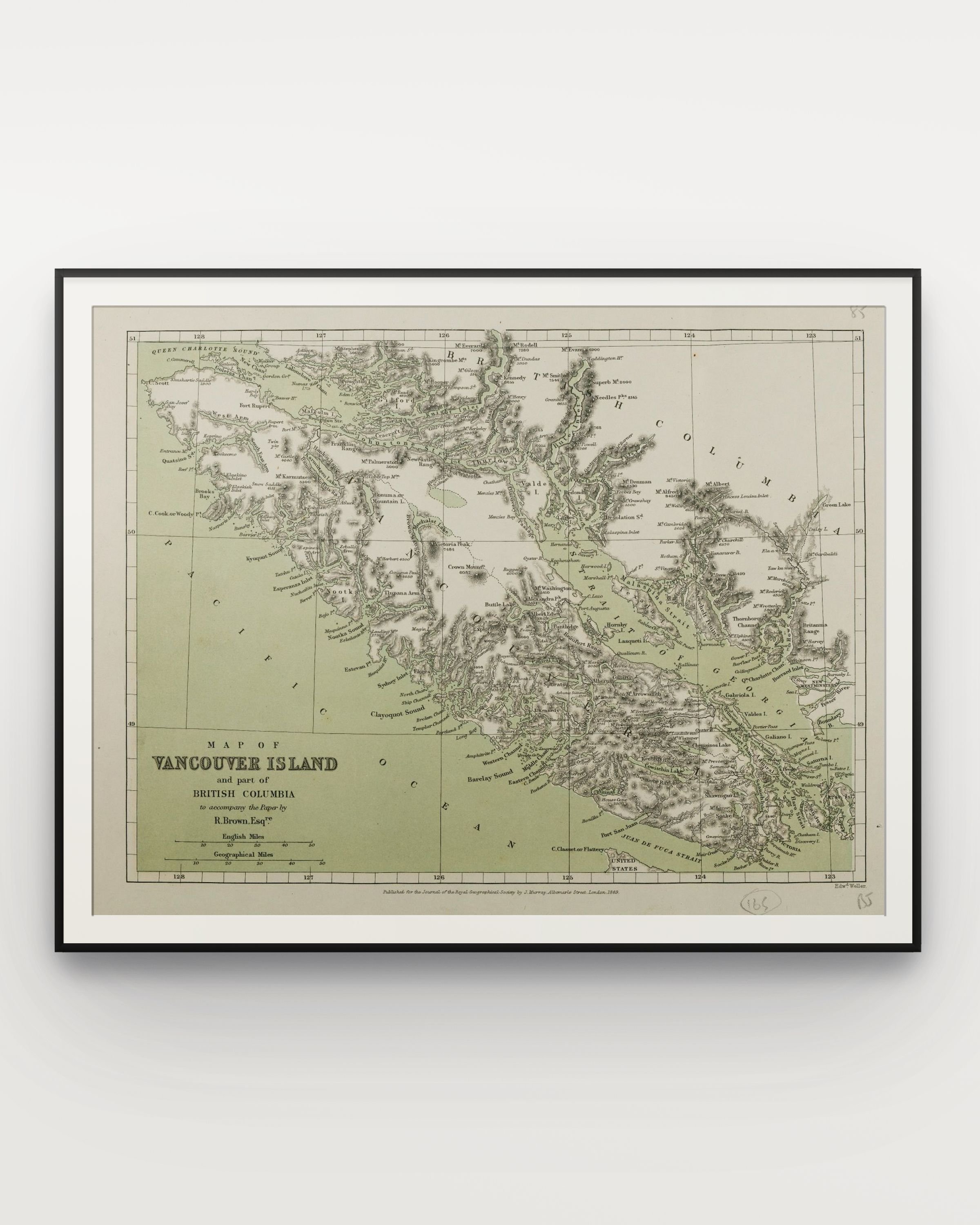
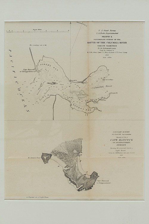
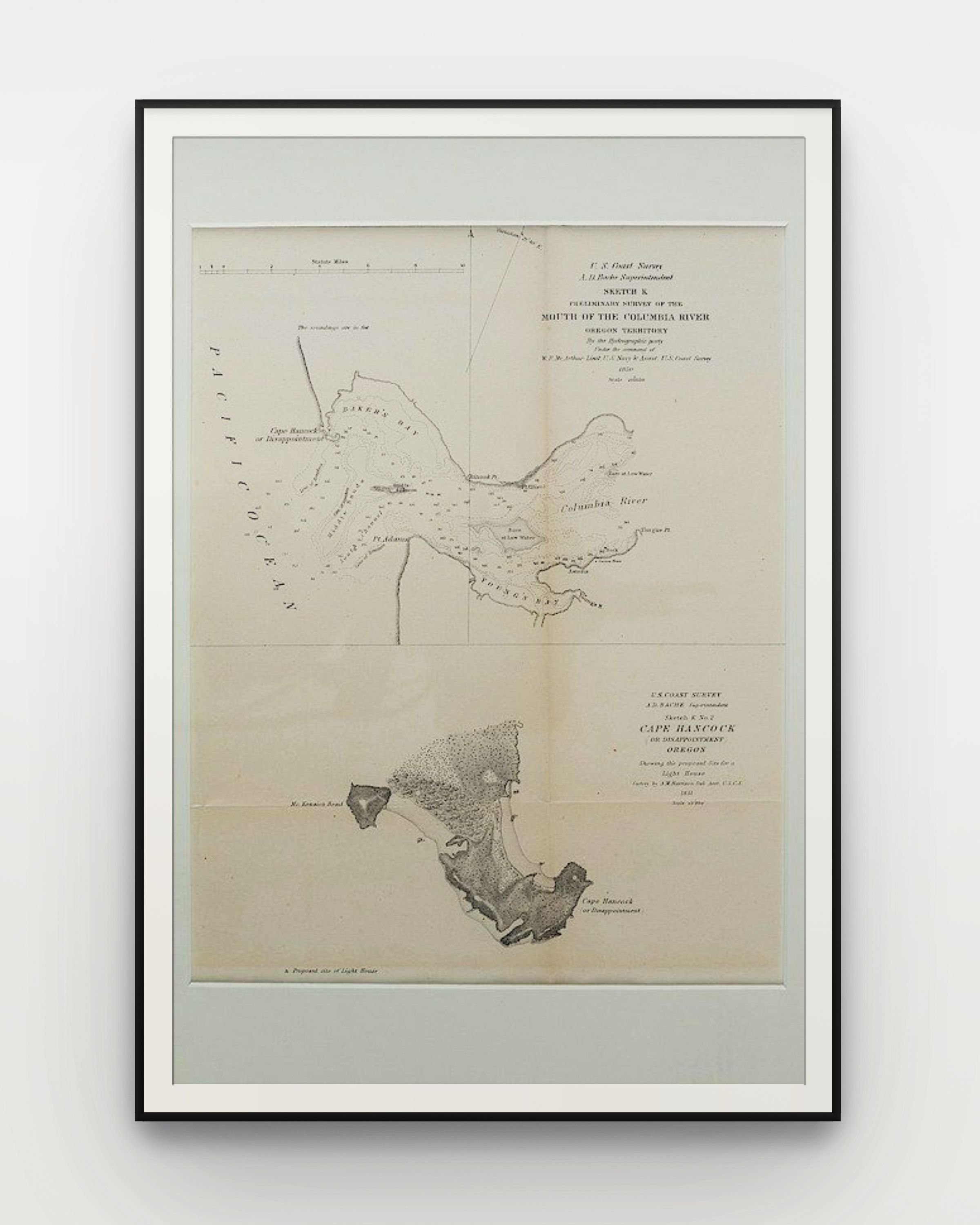
A group of 34 engraved maps and charts of the Northwest/Washington Territory, most printed by Government Printing Offices for survey purposes.
We offer handling and shipping services. Please inquire for options at info@cordatagallery.com
Semi-Ah-Moo-Bay, 1858, Hand colored lithograph, 11.5” x 16” in.
A historically significant antique chart and map produced by the U.S. Coast Survey. Officially titled "Reconnaissance of Semi-ah-moo Bay, Washington Territory," this lithographic print records the early survey of the Pacific Northwest maritime boundary between the United States and British Canada.
This exact map was published at the height of the 1858 Fraser River Gold Rush. During this time, Semiahmoo Bay and the neighboring town of Whatcom (now Bellingham) were flooded with thousands of fortune seekers heading north toward British Columbia.
A group of 34 engraved maps and charts of the Northwest/Washington Territory, most printed by Government Printing Offices for survey purposes.
We offer handling and shipping services. Please inquire for options at info@cordatagallery.com