 Image 1 of 2
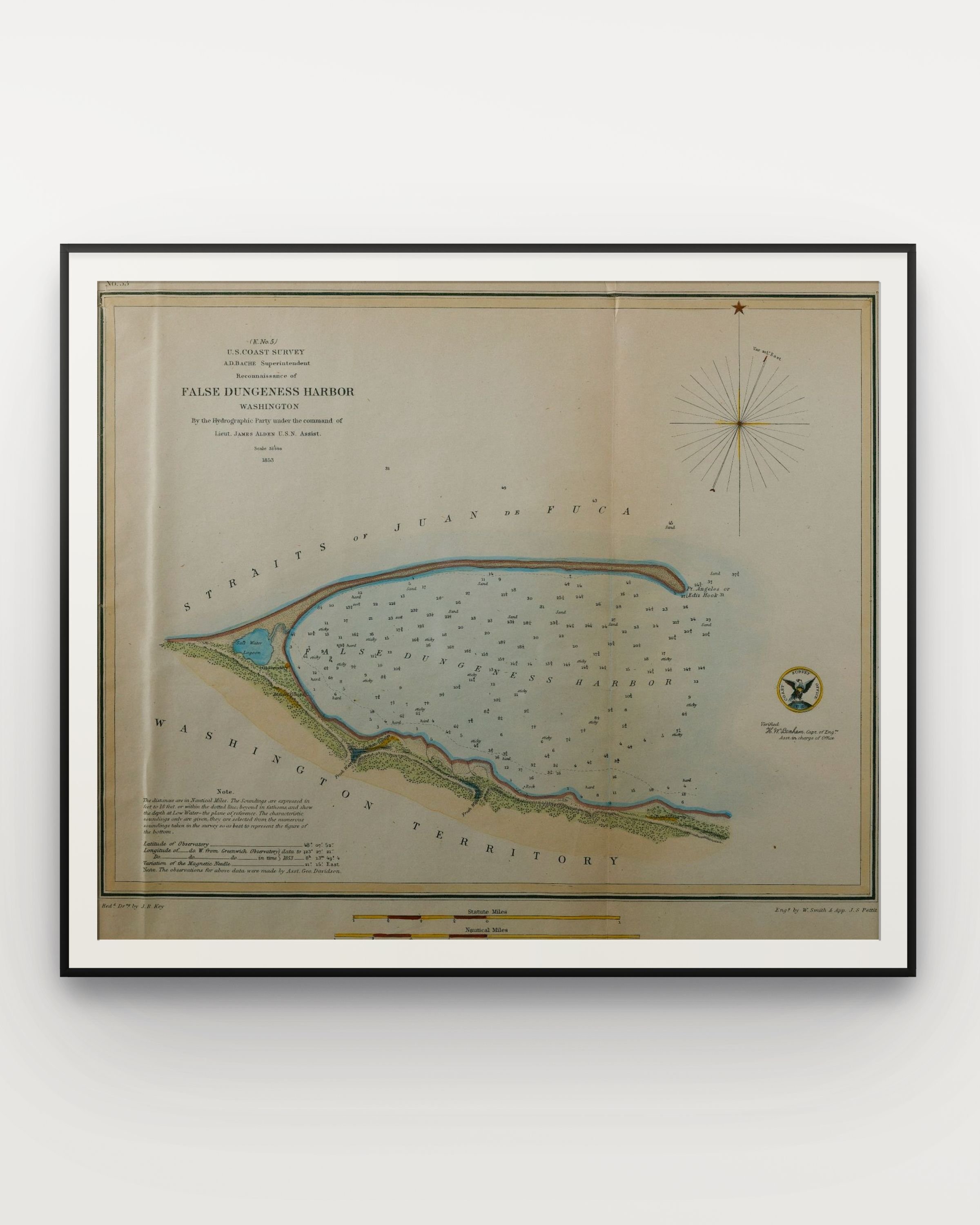 Image 2 of 2
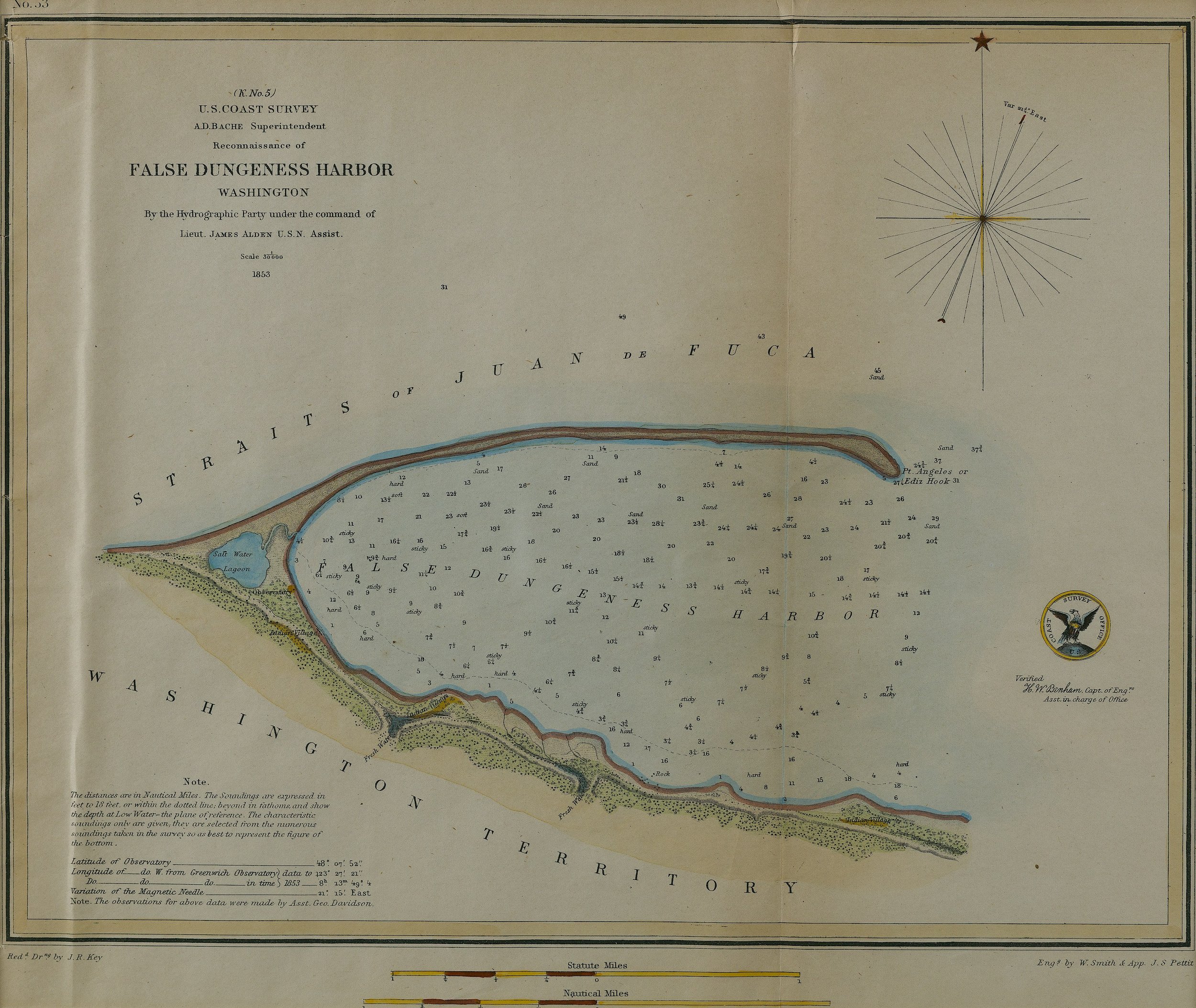
False Dungeness Harbor II, 1853, Hand colored lithograph, 10.75” x 12.5” in.
US COAST SURVEY: A group of 34 engraved maps and charts of the Northwest/Washington Territory, most printed by Government Printing Offices for survey purposes.
A beautiful map of the Port Angeles Harbor with little infrastructure surrounding the harbor except for a Indian village. The city of Port Angeles and by extension the False Dungeness Harbor where first named El Puerto de Nuestra Senora de los Angeles in 1791 by Spanish explorer Lt. Francisco Eliza. Shortened to Puerto de los Angeles in 1792, then changed altogether to Cherbourg after the French city, before eventually being given then permanent name of Port Angeles in 1862. During the name shuffling of the area the harbor was given the title the False Dungeness Harbor due to the resemblance between the Dungeness Spit and the Ediz Hook. However, on modern maps the harbor name has been aptly changed to mirror the city's permanent name of Port Angeles.
False Dungeness Harbor II, 1853, Hand colored lithograph, 10.75” x 12.5” in.
US COAST SURVEY: A group of 34 engraved maps and charts of the Northwest/Washington Territory, most printed by Government Printing Offices for survey purposes.
A beautiful map of the Port Angeles Harbor with little infrastructure surrounding the harbor except for a Indian village. The city of Port Angeles and by extension the False Dungeness Harbor where first named El Puerto de Nuestra Senora de los Angeles in 1791 by Spanish explorer Lt. Francisco Eliza. Shortened to Puerto de los Angeles in 1792, then changed altogether to Cherbourg after the French city, before eventually being given then permanent name of Port Angeles in 1862. During the name shuffling of the area the harbor was given the title the False Dungeness Harbor due to the resemblance between the Dungeness Spit and the Ediz Hook. However, on modern maps the harbor name has been aptly changed to mirror the city's permanent name of Port Angeles.